Understanding Atlantic Gales Across Rugged Granite Coastlines
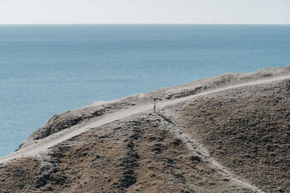
Atlantic gales behave differently when they meet a hard, irregular coastline. A low-pressure system may arrive as a broad field of strong wind, but granite headlands divide, redirect, lift, and accelerate that airflow over remarkably short distances. A walker can move from a sheltered hollow into a turbulent crosswind within a few steps. The apparent simplicity of a cliff-top path therefore hides a complex interaction between weather and landform, particularly where tors, ribs of exposed rock, steep gullies, and abrupt cliff walls interrupt the prevailing flow.
A standard coastal forecast remains essential, but it cannot describe every gust around every promontory. Forecast models represent conditions across larger areas, while a path may pass through a narrow saddle or above a vertical wall that produces much stronger local turbulence. Before committing to an exposed section, assess the terrain as carefully as the forecast. Identify where the route reaches sheer drops, open ridges, polished rock, or narrow passages, then decide whether the day allows a controlled passage or calls for an inland alternative. The correct objective is not to prove that the route can be walked, but to ensure that the next stretch can be managed without relying on luck.
Reading the Topography of Exposed Headlands
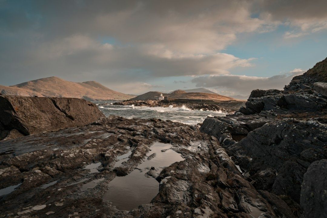
Granite headlands often create a sequence of different wind environments. A rounded tor can split the airflow, producing eddies on its sheltered side and sudden lateral gusts around its shoulders. A narrow ridge exposes a walker to wind from both sides, while a sheer cliff wall forces air upward and can create turbulent lift near the edge. Steep-sided gullies and coastal valleys may channel wind like a funnel, concentrating its force before releasing it across an open saddle. The surface itself matters as well. Short turf may offer limited grip when wet, and weathered granite can become unexpectedly slippery when coated with rain, salt, or lichen.
Look for compression zones before reaching them. A coastal gap between two rock masses, a low point between higher tors, or a path that crosses a steep-sided valley can all act as a venturi, increasing wind speed as air is forced through a restricted opening. The warning signs are often visible before the strongest gusts arrive: vegetation bent consistently in one direction, wind-driven spray travelling inland, loose grit moving across the path, or a sudden change in sound as airflow accelerates through a notch. Treat these features as decision points rather than scenery. Slow down before entering, secure clothing and equipment, and consider whether the route offers a safe retreat if balance becomes difficult.
It is also important to distinguish a widespread storm from a local squall. A synoptic Atlantic system may produce sustained wind over a large region, while a squall can bring a short-lived but severe burst of wind and rain to one headland. Large-scale atmospheric systems are governed by pressure gradients and circulation, and the Met Office explanation of tropical cyclone facts provides a useful reminder that atmospheric systems transfer energy and can generate organised, rapidly changing winds. The comparison is not that every Atlantic gale is a tropical cyclone, but that weather should be understood as a moving physical system rather than a single number on an app.
- Mark exposed headlands, open saddles, and cliff-top corners on the map before departure.
- Note where the path changes from firm ground to rock, loose turf, or steep grass.
- Identify likely shelter points, but never treat a shallow hollow as protection from a large breaking wave or falling rock.
- Watch the wind direction relative to the path, since a crosswind is often more destabilising than a headwind.
Physical Stability and Micro-Terrain Management
Strong wind changes the mechanics of walking. The most stable position is usually a slightly lowered stance with the knees relaxed, the torso inclined subtly into the wind, and the feet placed deliberately rather than carried through a long stride. Keep the centre of gravity over the space between the feet. Avoid leaning so far that a gust can remove both feet from a secure base. On an exposed path, shorter steps create more frequent opportunities to regain balance and reduce the chance of planting a foot beyond the body”s control.
Trekking poles are useful, but only when placed on dependable surfaces. On slick granite, test each placement before transferring weight. Lichen crusts can look firm yet become greasy under rain, while maritime turf may conceal loose stones or a shallow void beside a rock edge. Use poles to create a wider base, not as a substitute for handholds or a reason to move closer to a cliff. Keep straps adjusted so the poles can be released quickly if scrambling becomes necessary, and stow them when both hands are needed for a secure passage.
Micro-terrain provides short periods of relief, but it must be used intelligently. A natural hollow, a substantial inland-facing boulder, or a low stone dyke may reduce direct wind pressure while clothing is adjusted or a map is checked. Such features do not make an exposed cliff edge safe. Stay well back from unstable edges, overhangs, and loose blocks, and remain on the designated path where possible. The Pembrokeshire Coast safety guidance reinforces the fundamentals that apply across rugged Atlantic routes: use sturdy footwear, carry warm waterproof clothing, take care near cliffs, and recognise that high winds can make cliff-top walking hazardous.
- Pause before each exposed feature and identify the firmest line across it.
- Lower the stance, shorten the stride, and keep the body weight centred over stable ground.
- Place the downwind pole first only where the surface is reliable, then move one foot at a time.
- Use hollows and inland-facing rocks for brief shelter, while keeping a generous margin from cliffs and overhangs.
- If balance is repeatedly lost, stop advancing and retreat to the last secure position.
Critical Thresholds and Coastal Forecasting Benchmarks
Forecast interpretation should combine sustained wind, gust speed, direction, rain, visibility, and the terrain ahead. Sustained wind describes the prevailing movement of air over a forecast period, while gusts show the short, stronger bursts that are most likely to destabilise a walker. A modest difference between the two can be significant on a narrow ridge. Wind from the side is particularly important, because it can push a person toward uneven ground or a drop without providing the visual warning associated with walking directly into a strong wind.
There is no universal wind speed at which every coastal path becomes unsafe. Surface condition, exposure, body weight, pack size, group experience, and escape options all affect the decision. Nevertheless, a practical benchmark is to treat difficulty controlling balance, inability to stand comfortably during gusts, or the need to use hands on terrain intended for ordinary walking as a non-negotiable reason to turn back or divert. Formal weather products also need careful reading. The Watch, Warning, and Advisory Definitions explain the important distinction between conditions that are possible, conditions that are expected or imminent, and conditions requiring immediate caution. Local terrain can make an official advisory far more serious on a particular headland.
| Conditions | Likely walking implication | Decision benchmark |
|---|---|---|
| Moderate wind with good visibility and dry, firm ground | Exposed sections may remain manageable with careful pacing | Continue only where the path is wide, stable, and away from sheer drops |
| Strong sustained wind with frequent lateral gusts | Balance and navigation become demanding on ridges and saddles | Reduce exposure, shorten the stage, or use an inland option |
| Severe gusts, driving rain, poor visibility, or saturated rock | Footing becomes unreliable and route finding may deteriorate | Avoid cliff perimeters, greasy ascents, and exposed gaps |
| Difficulty standing, repeated loss of balance, or hazardous warnings | Normal walking control has been lost | Do not continue on the exposed route; retreat or divert immediately |
Give particular attention to sheer drops, greasy rock steps, and high cliff saddles. These are trigger points because a small loss of stability can have consequences out of proportion to the distance involved. Tide planning matters too. On coastlines with large tidal ranges, rising water can cut off bays, beaches, and low-level alternatives. Check tide times, identify every realistic exit, and avoid assuming that a beach shortcut is safer than the official path. If conditions deteriorate near the shore, move to a safe position and contact emergency services when necessary.
Executing Inland Diversions and Bridleway Alternatives
An inland diversion is a route-management decision, not a failure to complete the walk. When wind exceeds the level at which balance can be maintained, leave the cliff perimeter before the most exposed feature, not after reaching it. Use the map to connect the coast path with inland public footpaths, sunken lanes, bridleways, or sheltered farm tracks. Ordnance Survey mapping can help reveal lower contours, field boundaries, and alternative crossings, but verify rights of way, access restrictions, gates, and the condition of the route before relying on it.
Keep the group together and preserve a clear objective: reach a safe road, settlement, accommodation point, or known route junction without crossing another exposed promontory. A diversion may add distance, mud, or navigation work, so allow extra time and protect the phone or map from rain. Do not follow an unmarked desire line across private land simply because it appears sheltered. The safer option is a documented path, even when it is less scenic. Experiences from the Wales Coast Path, including a documented decision to abandon a section during Storm Gareth and return in calmer weather, illustrate the value of accepting that a forecast can make continuation unreasonable.
- Turn inland before the route reaches its highest or narrowest point.
- Use a reliable map to locate public paths, lanes, and bridleways with lower exposure.
- Confirm the direction of travel at every junction, especially where wind and rain reduce visibility.
- Tell a contact about the revised route and expected arrival time.
- Never descend to a beach or cove without checking tides and identifying a safe exit.
Walk with Confidence by Respecting Coastal Airflow
Safe progress on a granite headland begins with situational awareness. Read the wind in the vegetation, spray, cloud movement, and changing sound of the landscape, then compare those observations with the forecast and the map. Treat tors, gullies, saddles, cliff walls, and narrow gaps as separate wind environments rather than assuming that one condition applies to the whole stage. Stable footwear, waterproof layers, controlled footwork, and sensible use of micro-terrain make a significant difference, but none of them can eliminate the consequences of a severe gust beside a drop.
An inland diversion is often the most skilful way to preserve a long-distance itinerary. It protects the group, retains route continuity, and leaves the exposed coastline for a day when the terrain can be enjoyed rather than fought. Before stepping onto an Atlantic coastal track, complete a final check:
- Review sustained wind, gusts, direction, rain, visibility, and the relevant warning products.
- Mark the most exposed headlands, cliff saddles, rock sections, and possible retreat points.
- Check tide times and identify safe exits from every bay or low-level section.
- Carry charged communications equipment, a map, warm waterproof clothing, and footwear with dependable grip.
- Agree the turn-around standard before the group reaches the first exposed feature.
- Be prepared to move inland early, while route choices remain straightforward and controlled.